

A note to US-based customers: All Lit Up is pausing print orders to the USA until further notice. Read more
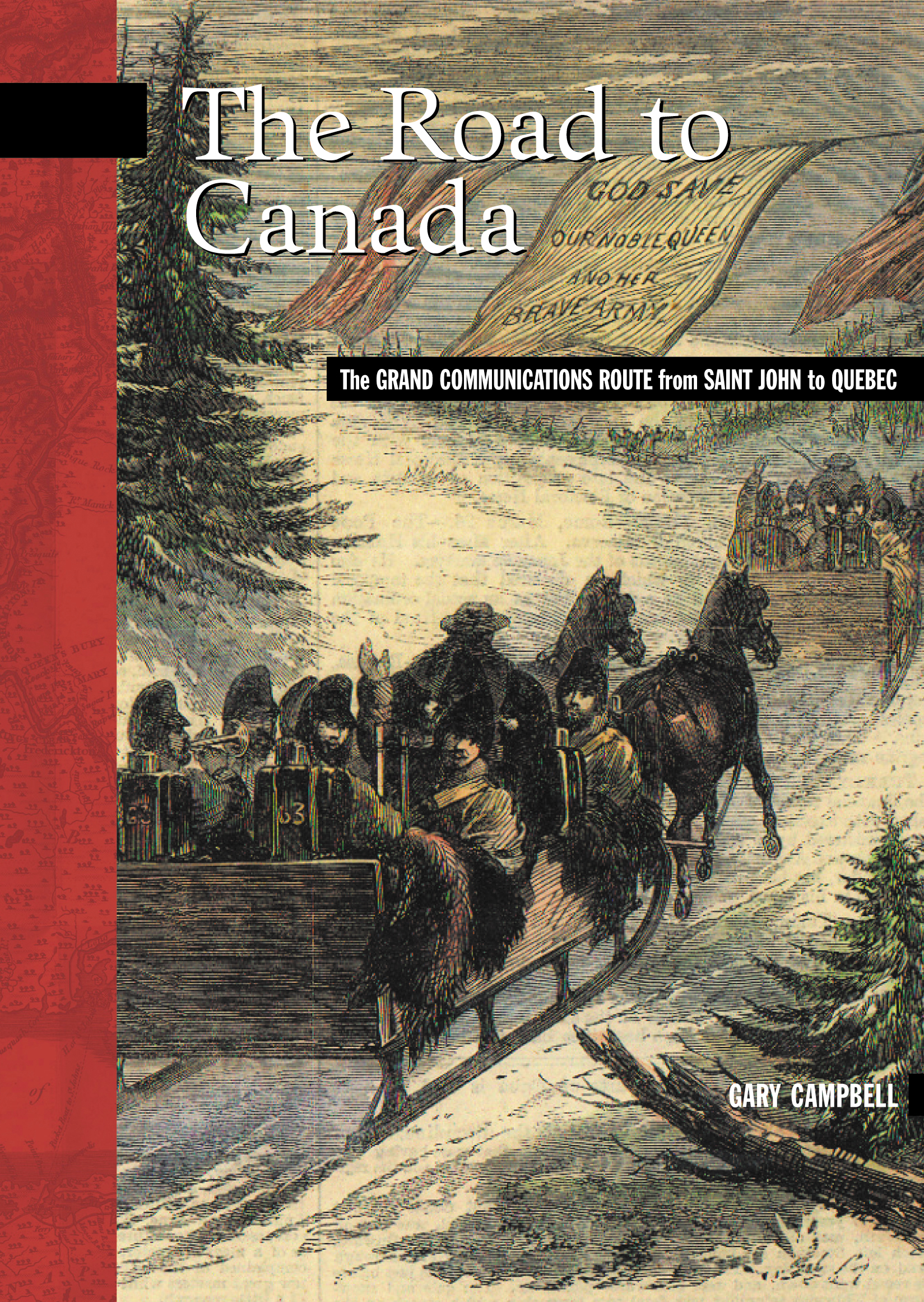

The Road to Canada
Since the last Ice Age, the only safe route into Canada’s interior during the winter started at the Bay of Fundy and followed the main rivers north to the St. Lawrence River through what is now New Brunswick. Aboriginal people used this route as a major highway in all seasons and the great imperial powers followed their lead.
The Grand Communications Route, as it was then called, was the only conduit for people, information and goods passing back and forth between the interior settlements and the wider world and became the backbone of empire for both England and France in their centuries of warfare over this territory. It was Joseph Robineau de Villebon, a commandant in Acadie, who first made strategic use of the route in time of war because he understood its importance in the struggle for North America. A strategic link between the Atlantic colonies and Quebec, the French made extensive use of the route to communicate and move troops between the northern settlements and Fort Beauséjour, Louisbourg, and Port-Royal. The British put great effort into maintaining and fortifying the route, building major coastal forts at Saint John to guard its entrance and erecting garrisons and blockhouses all along the way to the St Lawrence, first as a defence against the French and then to ward off the Americans.
The route also played a key role in the American Revolution as well as the Aroostook War of 1839 that saw bodies of troops lining each side of the border extending from St. Andrews (NB) and Calais (ME) to Madawaska. In 1842, the Grand Communications Route and the Webster-Ashburton Treaty determined the location of the Canada—US border.
It is still in use today: the Trans-Canada Highway and Route 7 follow its path. As well as telling the story of the Grand Communications Route from the earliest human habitation of the area, The Road to Canada describes the historic sites, forts, blockhouses and other historic remains that can still be visited today, including Martello Tower (Saint John), the Fort Hughes blockhouse (Oromocto), the Fort Fairfield blockhouse (Fort Fairfield, ME), Le Fortin du Petit-Sault (Edmundston), the Fort Kent blockhouse (Fort Kent, ME) and Fort Ingall (Cabano, QC).
The Road to Canada is volume 5 in the New Brunswick Military Heritage Series.

The Trans-Canada Highway winds along the Saint John and Madawaska rivers through New Brunswick and Quebec to the St. Lawrence River. It follows one of the oldest and strategically most important routes in North American history: the Grand Communications Route. For millennia, the Saint John River system had been a major artery in the vast system of lakes, rivers, and portages linking aboriginal communities. During the French and British colonial periods, and until the advent of rail travel in the 1870s, it remained the backbone of an overland route between the Atlantic Ocean and the interior of the continent.
Today, the traveller along the Trans-Canada Highway can visit some of the forts that once defended this vital Road to Canada.
“A neat little narrative that weaves not only a story of the development of secure communications, but how that development was linked to settlement policies, military strategy, communications, technological evolution and international disputes. As far as this reviewer knows, this is the only book length study of this aspect of the route.”
– Canadian Army Journal
There are no awards found for this book.
You must be logged in to submit a review.
Details
Dimensions:
120 Pages
7.75in * 5.5in * 0.28in
166gr
Published:
May 13, 2005
Publisher:
ISBN:
9780864924261
9780864925992 – EPUB
Featured In:
Language:
eng
Share


No author posts found.
